Cape Town Marathon
Mapping support for the Cape Town marathon event including and interactive online map.
Description
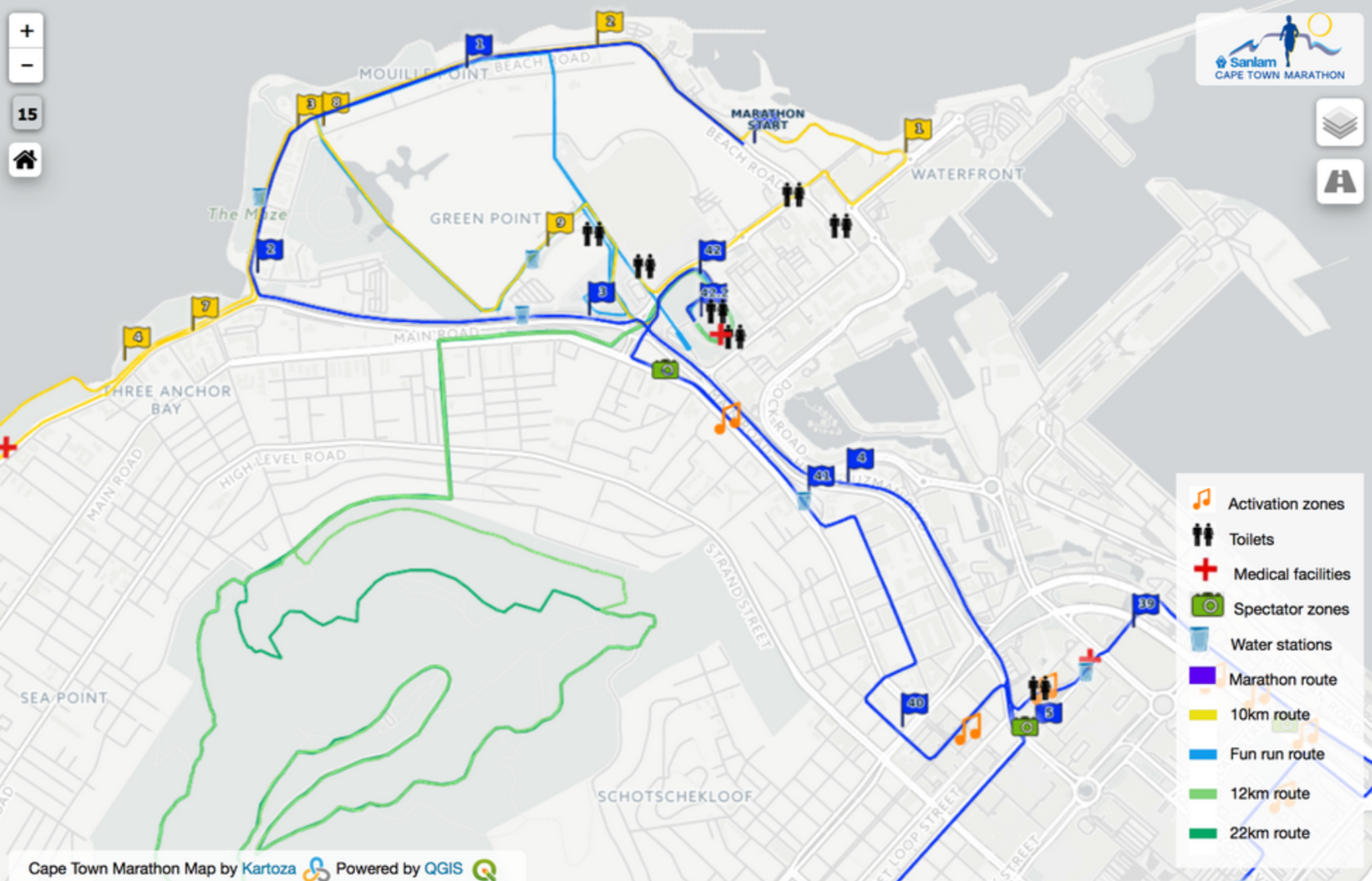
Staging a world-class running event is a complex undertaking. It is spatially intensive, with not only the routes to plan at a very detailed level but also road closures, refreshment stations, ablution facilities and more. Many stakeholders need to work on a shared spatial view of the event: the organisers, local and provincial government and the public. The organisers had been using Google Earth as their GIS for the past two events but came up against its limitations and needed something more powerful to manage their data and generate maps and reports, including supporting an interactive online map.
Kartoza is consulting on moving data from KML to Spatialite and conducting QGIS training. We also published and host a live map, served by QGIS server and automatically kept in sync with the data and styles as they are changed with QGIS desktop in the office.
Services Provided
Interactive Online Map
Completed: 2019-10-28


