Blog
Introducing the new QGIS Plugins Website and QGIS Hub
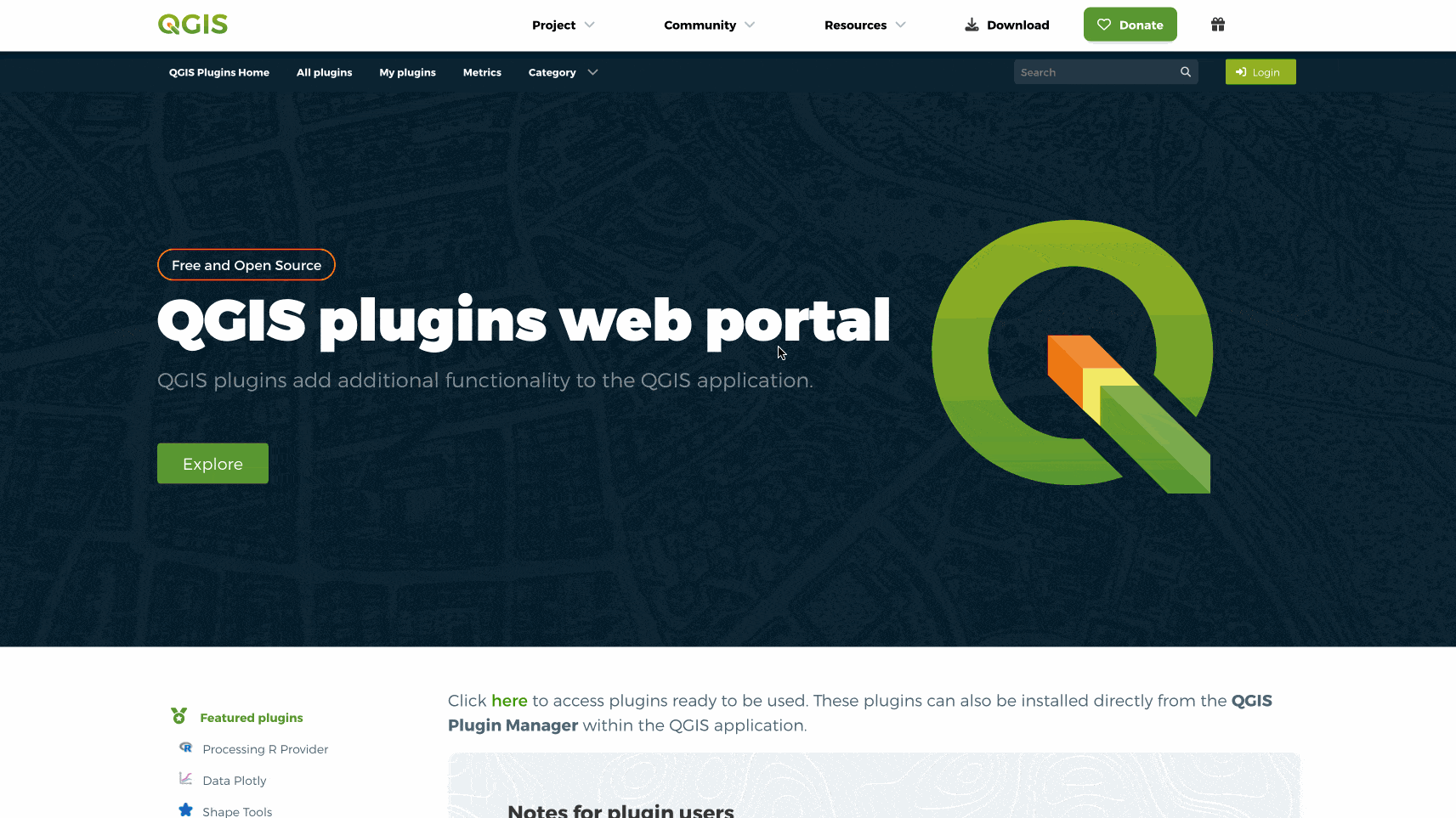
The QGIS Plugins website has undergone a major redesign to enhance usability and provide a seamless experience for users.
The Evolution of GIS: From Humble Beginnings to Modern Tech
In this article, we explore the milestones that have defined GIS over the years and reflect on how these tools continue to empower decision-makers, educators, and communities.

Tutorial: Updating Raster NoData Value with Rasterio
Updating raster NoData value in Python is easy and straightforward. Here is how to do it.
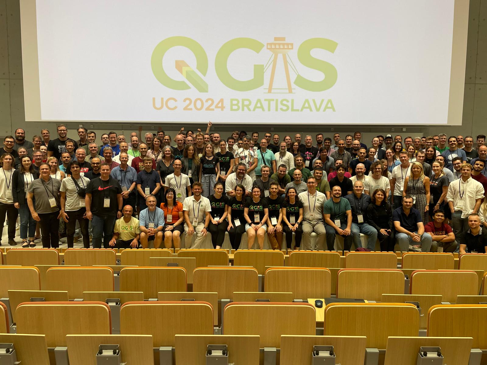
First QGIS Conference Experience: A Journey of Collaboration and Innovation
As a QGIS full stack web developer funded by QGIS I had the privilege of attending my very first QGIS User Conference, followed by the Contributors Meeting in Bratislava, Slovakia.
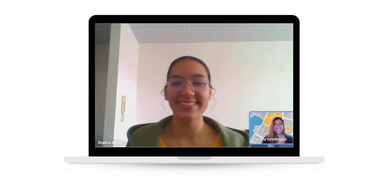
My experience at the EMP Joint Global Training School 2024
I co-facilitated a geospatial data management session at the Energy Modelling Platform's 2024 training school, helping participants from emerging economies tackle energy access challenges.

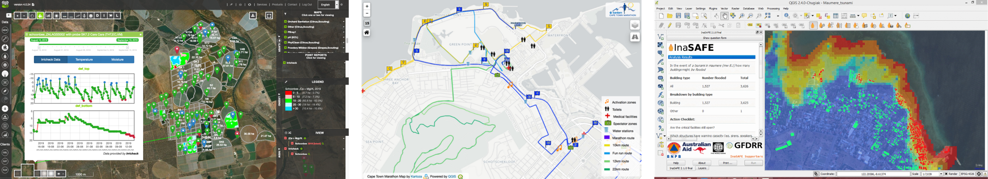
Disaster Management with QGIS and the InaSafe Plugin
In the ever-evolving landscape of disaster management, having the right tools to anticipate and respond to disasters can be the difference between preparedness and chaos.
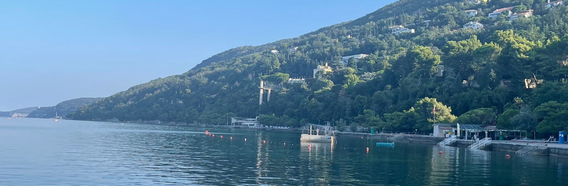
Geospatial Hosting - Taking the pain out of hosting your GIS applications
In this article we give a little look behind the scenes to show how we are building our upcoming geospatial hosting platform

Revamping Dominica's Geospatial Future: Inside the DomiNode Phase 2 Project
In a world where data can make the difference between disaster and resilience, the small island nation of Dominica is making big strides.
Discovering GIS: Job Shadowing at Kartoza
Job shadowing at Kartoza provides students with a unique opportunity to gain insight into what GIS and a real-world IT business entail.
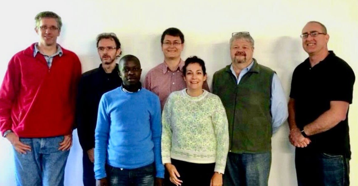
Kartoza's 10th Anniversary: Looking Back, Moving Forward
Kartoza turns ten in July 2024! Some reflections on our journey so far.
Zonal Operations using PostGIS
Interactions with remote datasets from Cloud storage providers opens up many possibilities
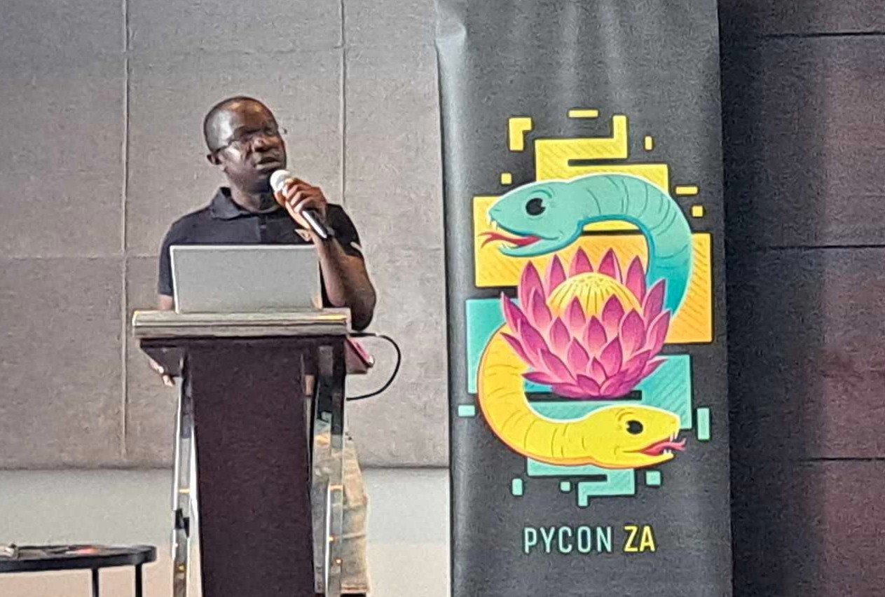
PyConZA 2023 reportback
We attended the annual PyConZA 2023 conference in Umhlanga, Durban
Reading and Writing Shapefiles in Python with Fiona
Fiona is a library for reading and writing shapefiles in Python.
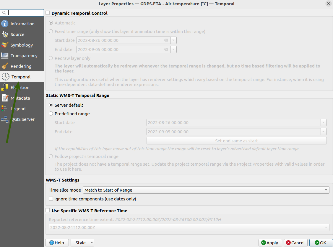
Using WMS-T layers with QGIS Temporal Controller
The Temporal controller has added the ability for users to access and visualise WMS-T data in QGIS. Users can now load and analyse all varieties of WMS-T layers in QGIS.
Kartoza Internship: Programming Sessions
The Kartoza Internship aims to prepare candidates for the workplace and build their skills, knowledge, experience, and portfolio.
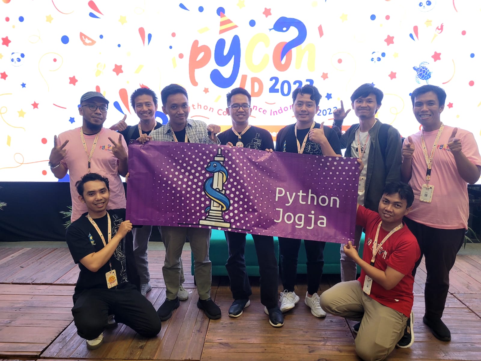
Managing Legacy Code - PyConID 2023
Tips on dealing with legacy code, from a keynote at PythonID 2023
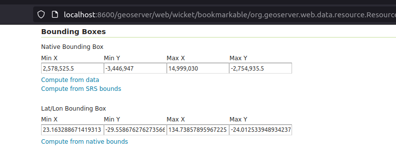
Tutorial: Auto-updating GeoServer layer configurations
GeoServer REST API enables remote interactions with GeoServer, thereby enhancing automation

Kartoza at PyConZA Durban 2023
Kartoza is actively involved in developing cutting edge geospatial solutions. Python programming language is at the heart of the major products we build.
.png)
GIS in the classroom - Exploring the SAGTA Map Downloader
GIS is part of the school Geography curriculum in South Africa. Teachers need to grasp GIS concepts and teach them in the classroom. Geography teachers and students often need access to topographical


