Enterprise GIS for National Land Audit
A Professional Land Surveyor was required to assess the status of each land parcel and sign off on reports but the firm soon realised that this was very much a GIS project.
Description
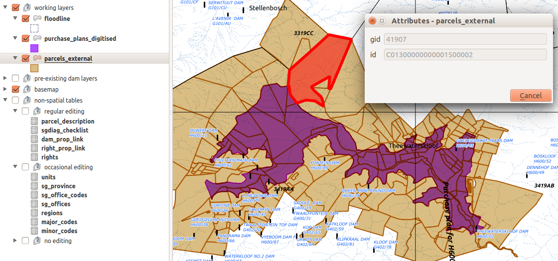
Kirchhoff Surveyors was a traditional Land Survey firm that used CAD-based software for survey jobs. They had won a contract with the National Department of Water and Sanitation (DWS) to undertake an audit of all DWS land assets, such as land under reservoirs, canals, pipelines and water transfer schemes. A Professional Land Surveyor was required to assess the status of each land parcel and sign off on reports but the firm soon realised that this was very much a GIS project.

Services Provided
First Afrispatial and then Kartoza were contracted to establish an enterprise GIS at the firm, train new staff and build data capture and reporting tools. All data were managed in PostGIS. Desktop users worked in QGIS with forms, styles and workflows we prepared. Reporting was done with GeoServer and OpenLayers. Remote editing was done in QGIS via WFS-T from Geoserver.
We also developed the QGIS Surveyor General Diagram Downloader plugin for this project.
Completed: 2017-03-01


