Energy Modelling Platform for Africa
Three-week intensive training on data management with FOSS GIS to support geospatial electrification models for government officials, utility analysts and academic researchers.
Description
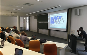
The Energy EMP-A entailed three-week (Cape Town, 2019) intensive training on data management with FOSS GIS to support geospatial electrification models for government officials, utility analysts and academic researchers. The training focused on all the steps required to develop an SDI. Kartoza developed and presented all the GIS materials.
Services Provided
The attendees were introduced to the concepts of Open Source, Open Data and Open Standards. We took the opportunity to reinforce the value proposition of these three concepts throughout the course. All the course software was Open Source. The course programme was planned to cover three main topic areas:
- Geospatial databases (based on PostgreSQL and PostGIS)
- Geospatial data manipulation including management, visualisation, creation, editing
- Analysis and development of cartographic products (based on QGIS) • Spatial Data Infrastructures
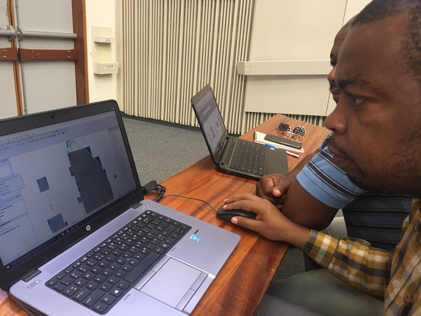
The format for the course was formal presentations, instruction and exercises in the morning sessions and workshop sessions in the afternoon. In the workshop sessions we assigned overarching tasks to the participants which covered inter alia:
-
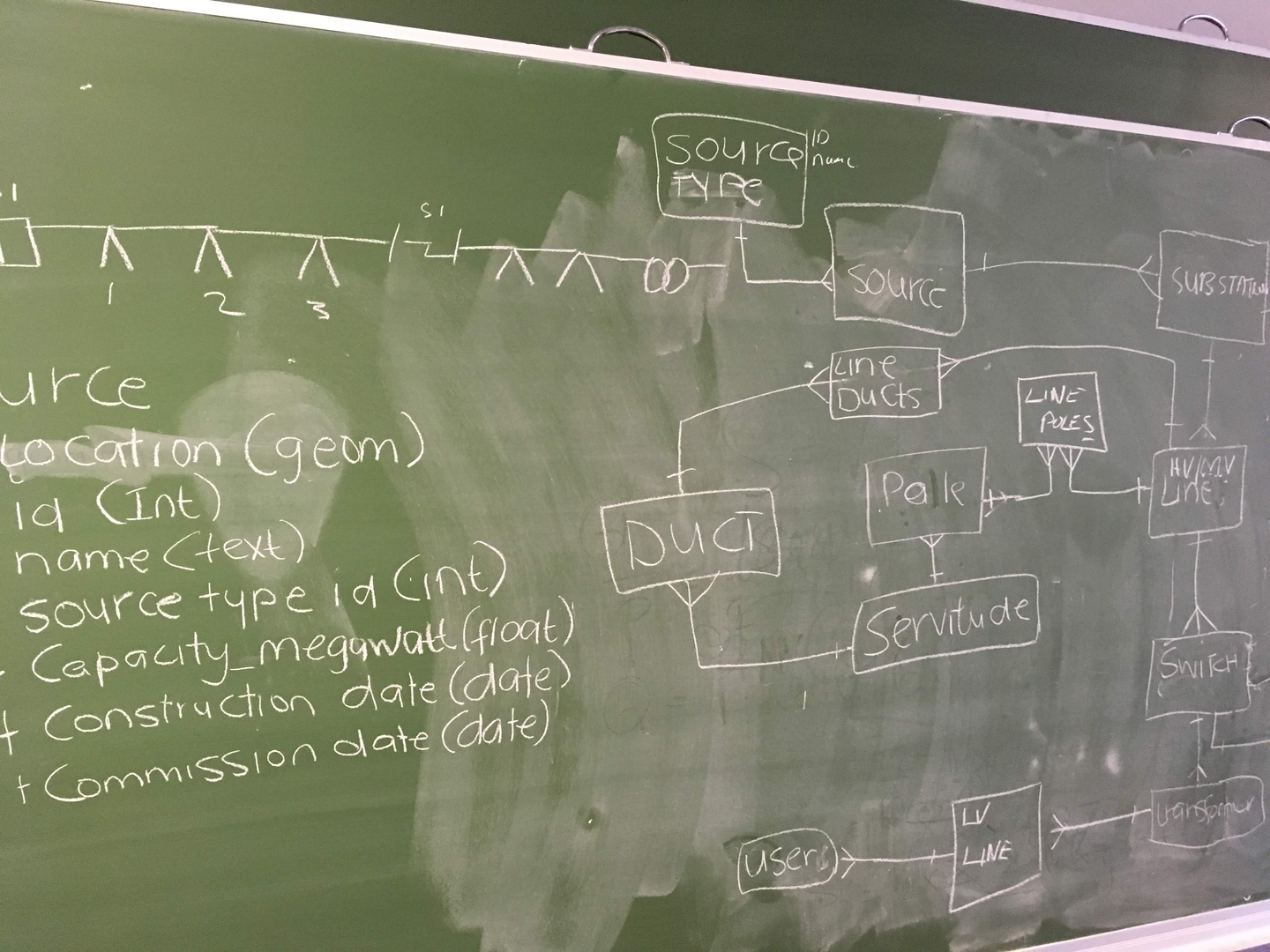
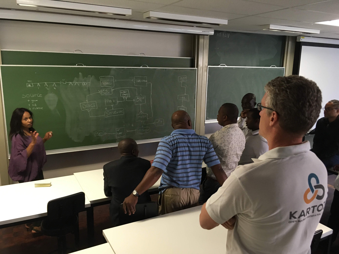
Collaboratively developing a simple data schema for electricity grids
-
Implementing that schema both as GeoPackage and then as PostGIS tables
-
Working in a multi-user environment, connecting to remote databases and editing remote datasets
-
A ‘data hunt’ - discovering and downloading GIS data from the internet and then importing it into our PostGIS based sandbox platform
-
Producing a GIS project that incorporates diverse data sources in an organised manner
-
Creating meaningful and clear cartographic styles for GIS data
-
Developing print-ready products
-
Uploading and downloading GIS data from a cloud platform as part of an SDI
(demonstrated with GeoNode)
-
Developing an analysis protocol to solve real-world problems, including using and
processing very large datasets
-
Developing a presentation based on their analysis results
-
Mobile mapping
Completed: 2019-02-28


