Blog

Disaster Management with QGIS and the InaSafe Plugin
In the ever-evolving landscape of disaster management, having the right tools to anticipate and respond to disasters can be the difference between preparedness and chaos.

Kartoza Book Review: QGIS for Hydrological Applications second Edition
QGIS for Hydrological Applications is not just a book for Hydrologists but for anyone who wants to improve their QGIS skills through practical, real-world examples that happen to be hydrological.
.png)
Kartoza Book Review: Discover QGIS 3.x - Second Edition
Kartoza Book Review: Discover QGIS 3.x - Second Edition by Kurt Menke
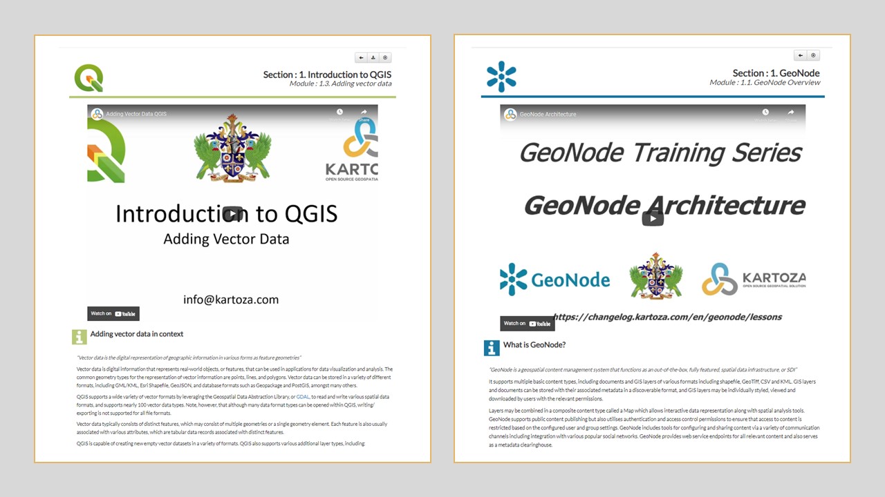
A Step Forward in Kartoza's QGIS and GeoNode Training
Learning online has become an essential part of education globally. Kartoza has answered the call for up-to-date, engaging and dynamic teaching material by updating our QGIS and GeoNode teaching platf
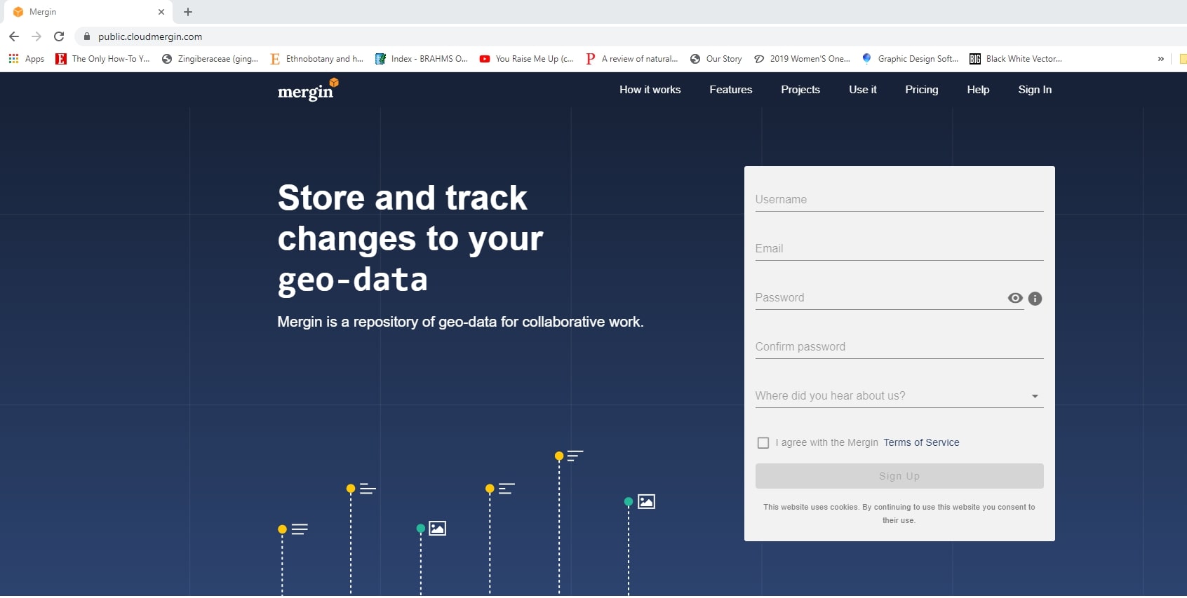
The Kartoza Intern's Journey Creating a Field Survey with QGIS, Mergin and Input
Input is a FOSS application created by Lutra consulting that brings the power of QGIS to a portable device for data collection.


