Blog

Geospatial Hosting - Taking the pain out of hosting your GIS applications
In this article we give a little look behind the scenes to show how we are building our upcoming geospatial hosting platform
Kartoza's 10th Anniversary: Looking Back, Moving Forward
Kartoza turns ten in July 2024! Some reflections on our journey so far.
Using Geospatial Technology to Promote Clean Cooking
Access to clean cooking technology (such as gas or electric stoves) can greatly improve health outcomes.
Does Hosting Your Own Server Still Make Sense in 2020?
Client: We need a server for this project, and we want to host it in house Me: Why?
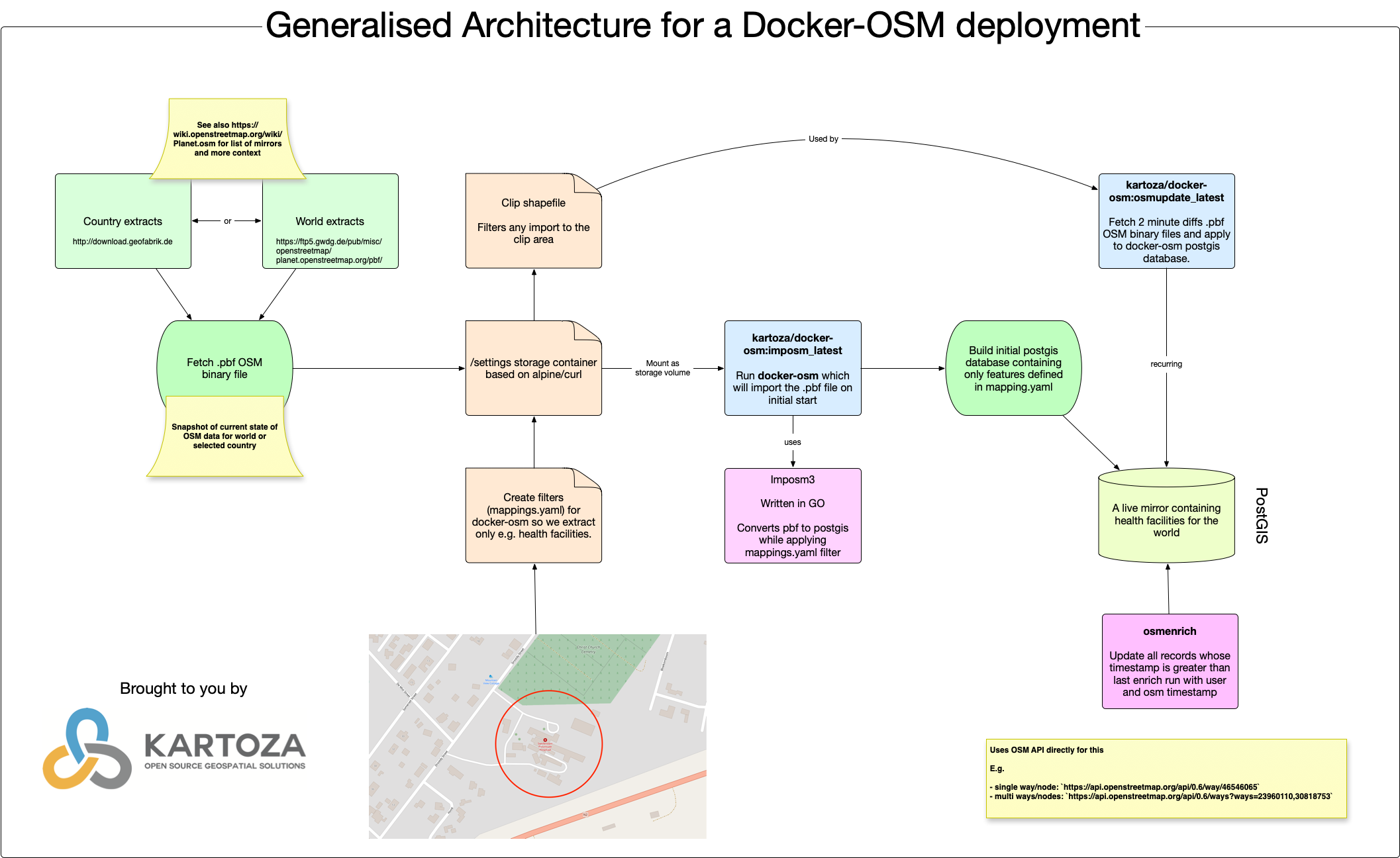
Creating a Live, Topic Specific Mirror of OpenStreetMap in PostGIS
Introduction In this article, we will do a walk-through of creating a live mirror of OSM for a specific country or region and for a specific set of OSM features. For this example, we will
FBIS 2 Launch Workshop
Toni Olsen from Freshwater Research Center (http://frcsa.org.za) presenting the Freshwater Biodiversity Informations System (FBIS) version 2 at the launch workshop
How to Make Beautiful Lollipop Call Out Labels in QGIS
Call out labels are a handy cartographic instrument for attaching labels to features on the map where you want the label to be offset from the feature being labelled.
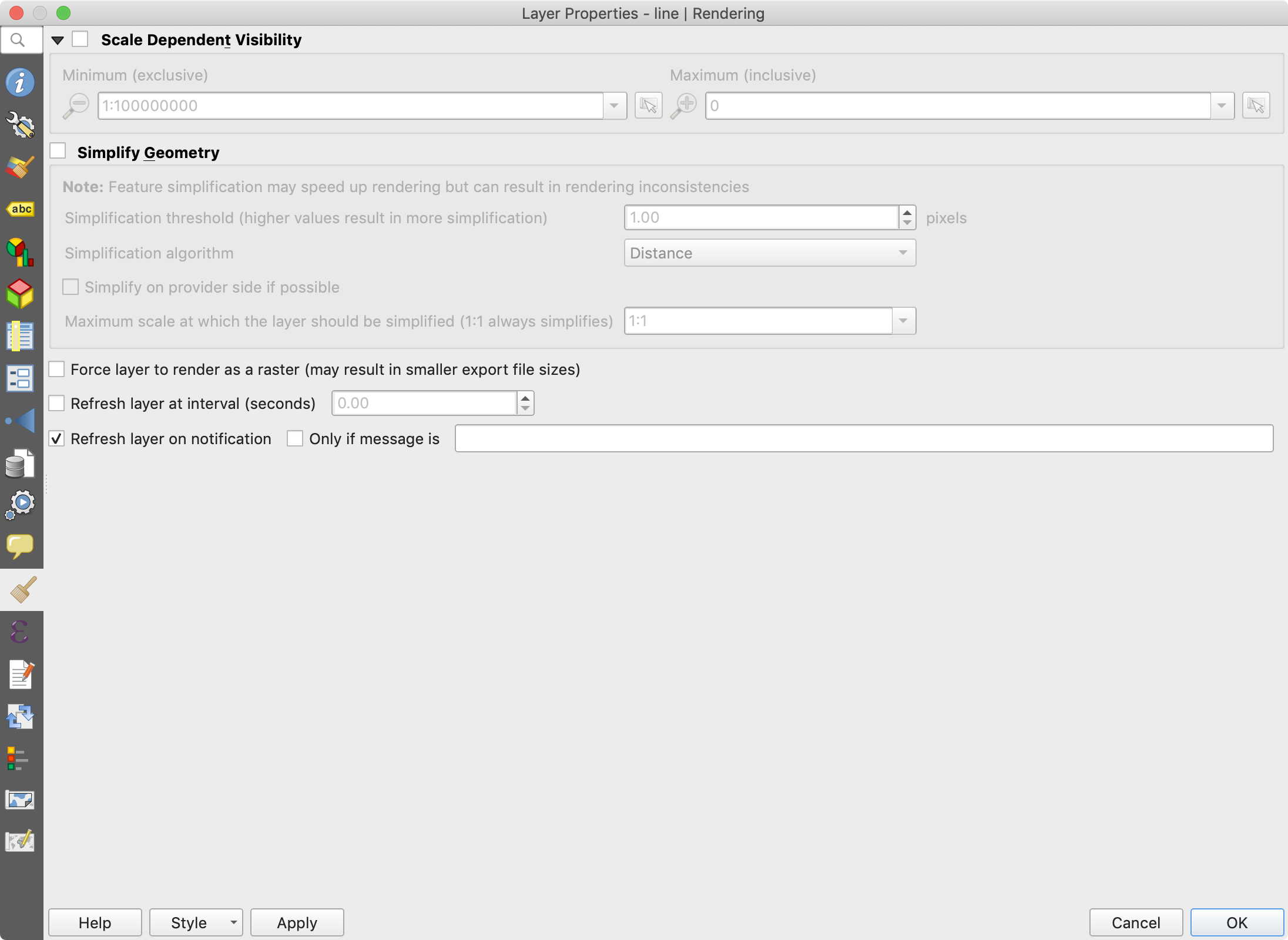
Using NOTIFY to Automatically Refresh Layers in QGIS
One of the most brilliant but little-known features of QGIS is the ability to trigger layer refreshes and events in response to notifications from PostgreSQL.
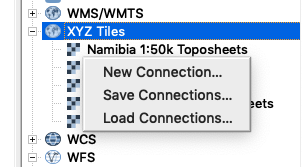
How to Easily Add South African and Namibian Toposheets as XYZ Tiles to QGIS
Thanks to the great work of Grant Slater and the OpenStreetmap team, there are freely available XYZ tilesets for South Africa and Namibia 1:50 000 series toposheets
Using a SAMBA/CIFS Mount as a Docker Volume
I preface this article by saying that what I am showing here is probably not best practice and you should test to see if it works reliably for you before taking this route.
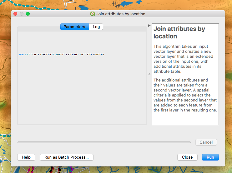
How to Resolve Issues with QGIS 3 Processing Dialog Layouts on MacOS
If you are using QGIS 3 master builds on MacOS and encounter issues with the display of processing dialog layouts like this:
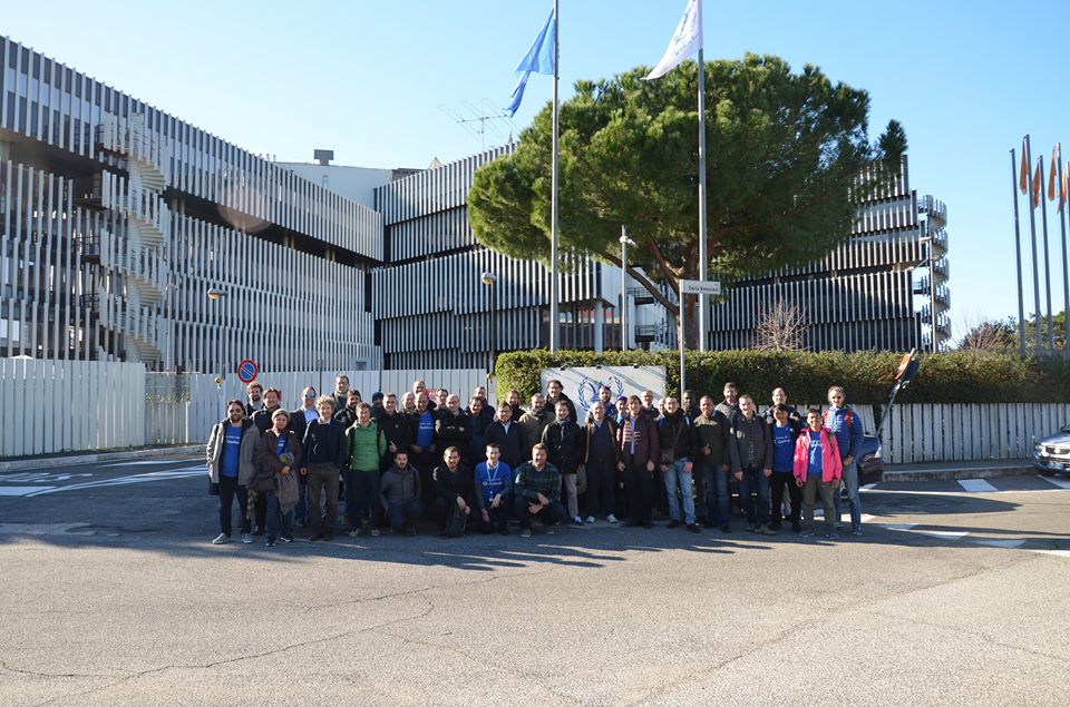
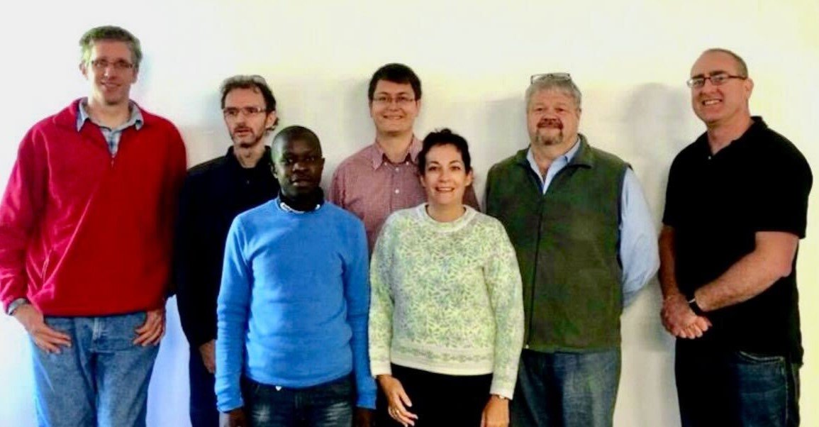
Kartoza at GeoNode Summit 2016
Four of the Kartoza team (Tim, Etienne, Ismail and Rizky) attended the GeoNode Summit in Rome held in November 2016.


