Blog
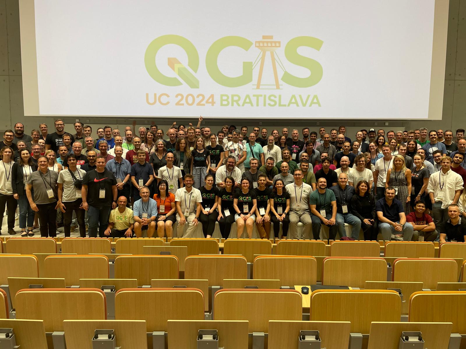
First QGIS Conference Experience: A Journey of Collaboration and Innovation
As a QGIS full stack web developer funded by QGIS I had the privilege of attending my very first QGIS User Conference, followed by the Contributors Meeting in Bratislava, Slovakia.
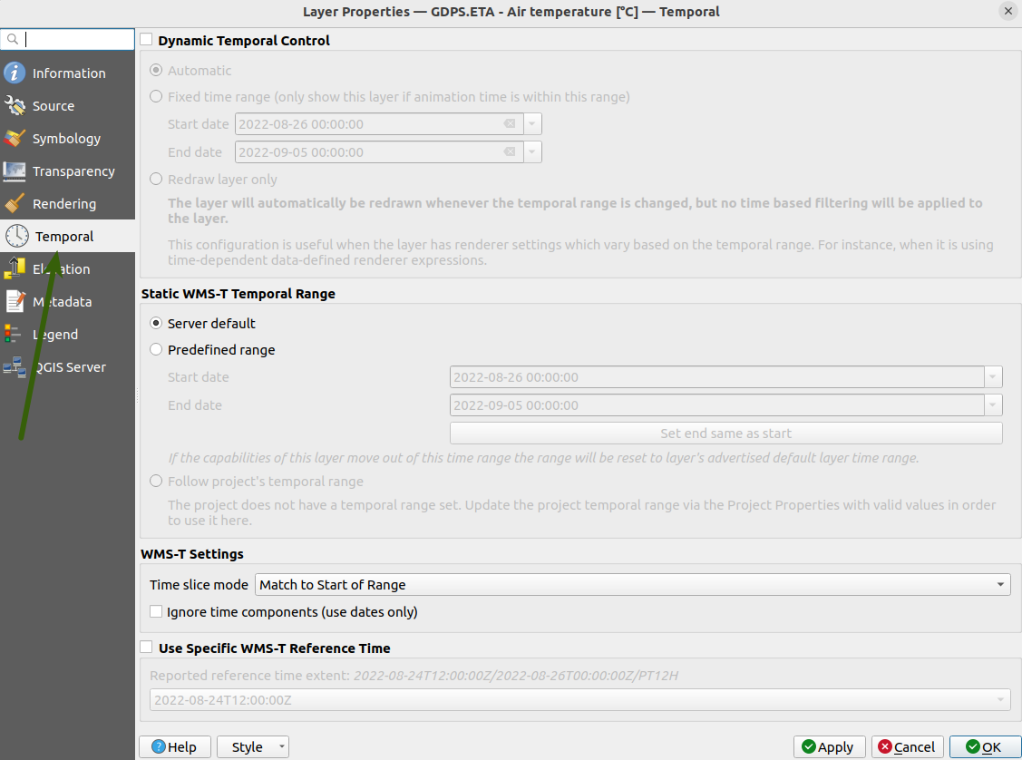
Using WMS-T layers with QGIS Temporal Controller
The Temporal controller has added the ability for users to access and visualise WMS-T data in QGIS. Users can now load and analyse all varieties of WMS-T layers in QGIS.
.png)
GIS in the classroom - Exploring the SAGTA Map Downloader
GIS is part of the school Geography curriculum in South Africa. Teachers need to grasp GIS concepts and teach them in the classroom. Geography teachers and students often need access to topographical
.png)
A Beginner's Guide to Asking Good Questions on StackExchange
Every software beginner eventually runs into a problem that Google can't help with. For moments like these, Ian Turton gave a great guide on how to get a good response on StackExchange.
.png)
Kartoza Book Review: Discover QGIS 3.x - Second Edition
Kartoza Book Review: Discover QGIS 3.x - Second Edition by Kurt Menke
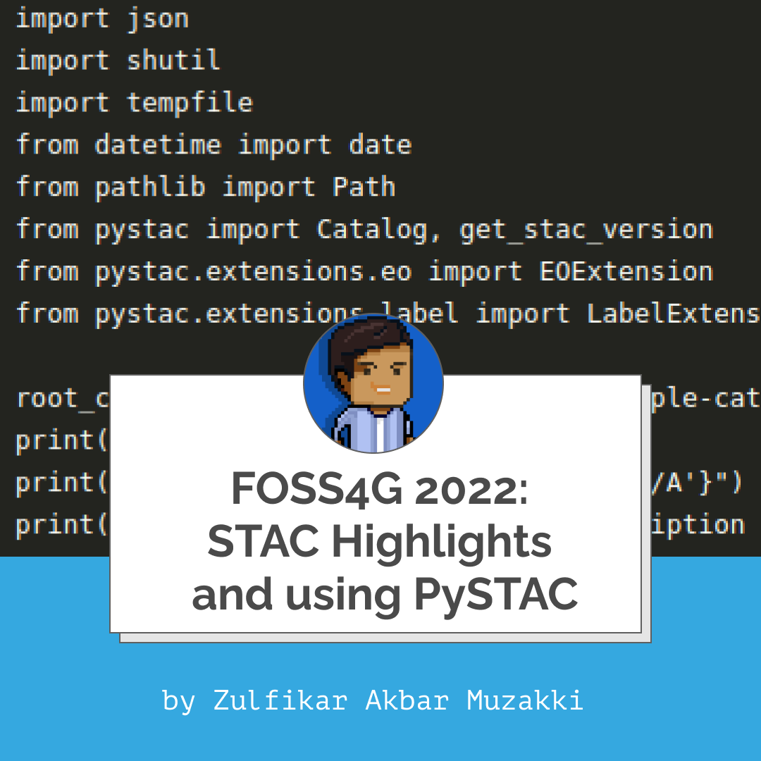
FOSS4G 2022: STAC Highlights and using PySTAC
FOSS4G 2022 was the first on-site FOSS4G conference held after the pandemic. There were around 330 talks delivered, and it seemed to me that Spatio-Temporal Asset Catalog (STAC) is a hot topic.
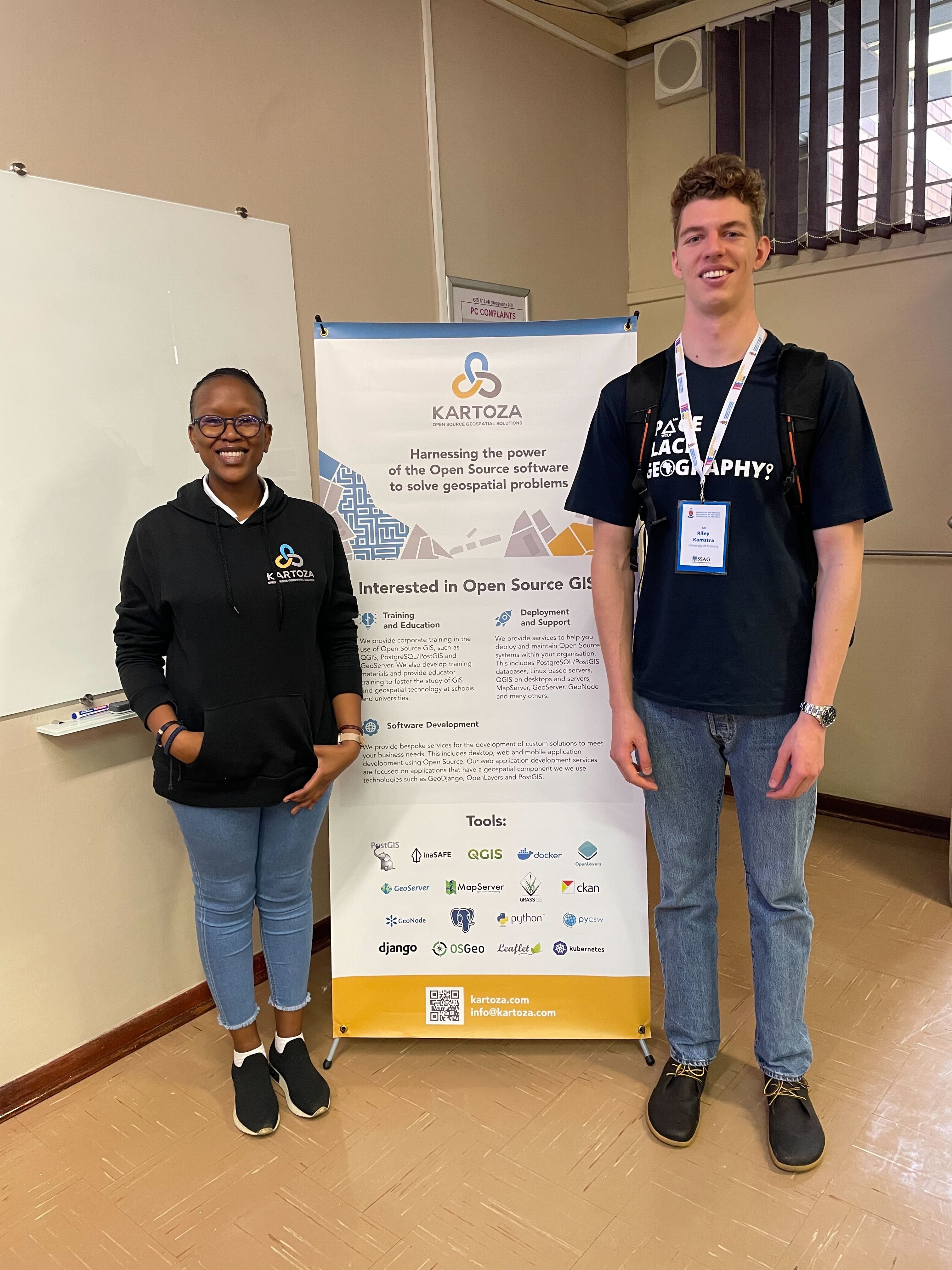
Workshop - Making Your Own Maps for Publication Using QGIS
An overview of the QGIS workshop presented at the Society of South African Geographers Biennial Conference 2022.


